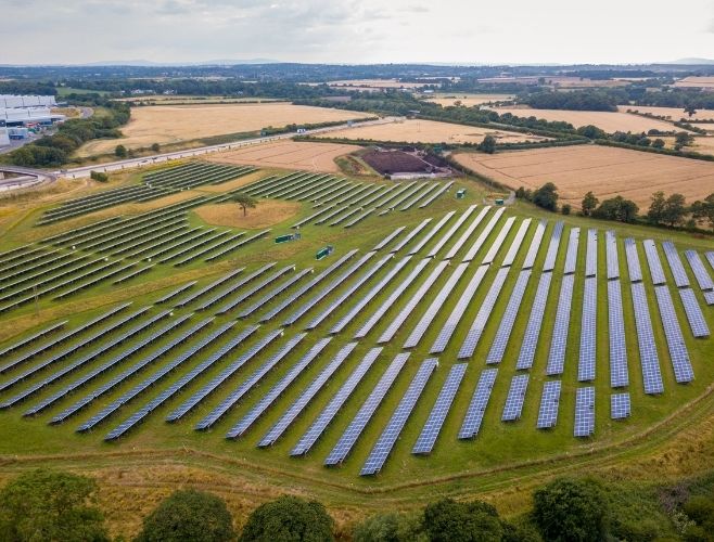
Central Engineering delivers critical base mapping, photogrammetric surveys, and geolocation services using UAV (drone) systems and advanced processing software. Field data is precisely captured and transformed into engineering-grade digital maps ready for planning and construction.
These services serve as the foundation for energy infrastructure, municipal planning, and private development projects requiring spatial accuracy and legal compliance.


